Vera Becker · 17 September 2026
Preserved Historical Documents Inspire Updated Approaches to Transit and Educational Access
Archival materials from the 19th and early 20th centuries continue to shape planning efforts for local transit networks and education access in multiple regions, with city planners drawing on detailed ledgers, maps, and correspondence to identify patterns in population movement and infrastructure needs. Researchers at several universities have cross-referenced these records against current demographic data to propose adjustments in bus routes and school placement strategies that align more closely with longstanding community corridors.
Archival Sources and Their Application
City archives in North America and Europe contain passenger manifests, property deeds, and municipal meeting minutes that document how early streetcar lines and school districts developed in response to industrial growth, and planners in 2025 began integrating these datasets into geographic information systems to test new route alignments. According to records from the National Archives of Australia, similar efforts in Melbourne used 1890s tramway surveys to identify under-served residential pockets where modern light-rail extensions could restore connectivity lost after mid-century highway construction.
European Union transport studies released in early 2025 referenced 1920s railway timetables from the Netherlands to model demand for on-demand shuttle services near former factory districts now converted to mixed-use neighborhoods, and these models indicated that routes following original worker pathways reduced average commute times by measurable margins in pilot zones.
Transit Planning Informed by Past Records
Transit authorities in Canada examined 1910s street directories from Toronto to determine optimal locations for new express bus lanes that connect residential areas with vocational training centers, and data from those directories revealed consistent pedestrian flows along certain avenues that remain relevant despite changes in land use. Planners combined this information with recent census figures to prioritize segments where education-related trips overlap with employment routes, producing schedules that accommodate both student and worker patterns during peak hours.
Implementation phases scheduled for September 2026 in several mid-sized municipalities will test these archive-derived routes through limited-service trials, allowing agencies to measure ridership against projections derived from the historical baselines before full rollout.

Education Access Strategies Drawing on Historical Data
School district administrators in the United Kingdom consulted 1930s attendance registers and boundary maps to identify neighborhoods where current bus services fail to serve students living along former walking paths to now-closed schools, and subsequent adjustments to feeder routes have increased on-time arrival rates in targeted areas. Research reports from McGill University documented similar applications in Quebec, where preserved correspondence between school boards and rail companies from the 1940s guided placement of new stops near community colleges serving adult learners.
These approaches rely on quantitative comparisons between archival population densities and present-day enrollment data, enabling officials to allocate resources without assuming uniform growth across districts. Government agencies in New Zealand have published summaries of comparable projects that used 19th-century survey plans to restore education transport links in rural regions where original settlement patterns still influence daily travel.
Integration Methods and Data Cross-Referencing
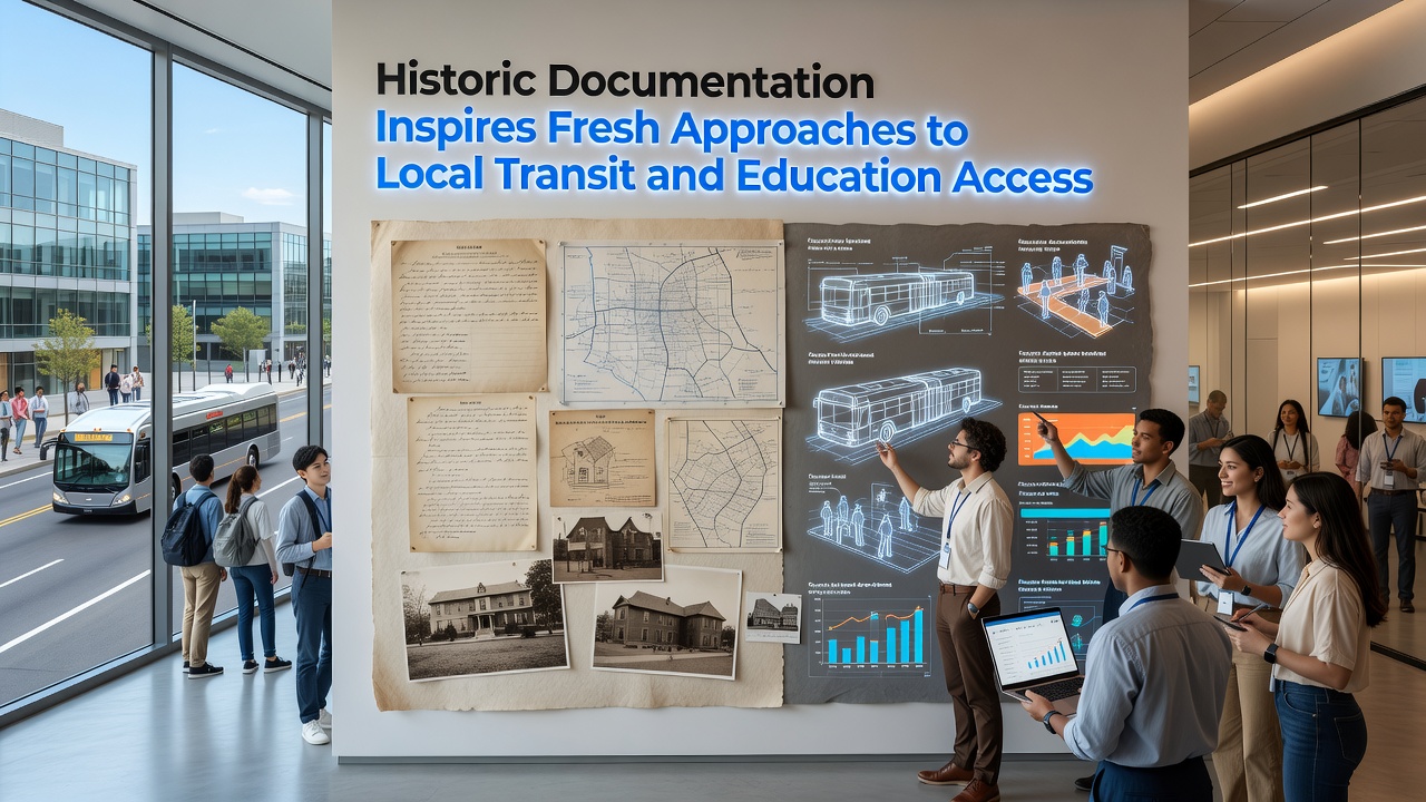
Digital platforms now allow direct overlay of scanned historic documents onto satellite imagery, and transportation departments in multiple countries report that this visual alignment accelerates identification of persistent mobility gaps. Academic papers presented at the 2025 International Conference on Urban History detailed workflows that convert handwritten ledgers into searchable databases, after which analysts apply statistical models to forecast how re-established connections might affect school choice and workforce participation.
Agencies maintain that cross-referencing remains essential because single-source records can contain gaps, while combined datasets produce more reliable indicators for capital investment decisions. Pilot programs scheduled to expand in September 2026 will evaluate whether these methods sustain improvements over multiple years of operation.
Conclusion
Historic documentation supplies concrete reference points that continue to inform transit redesign and education access initiatives across varied geographic contexts, with ongoing projects demonstrating measurable alignment between archival patterns and contemporary needs through structured data integration and phased testing. Continued access to preserved records supports evidence-based adjustments as urban conditions evolve.