Henrik Schwarz · 3 September 2026
Stream Stability Data Guides Protection of 19th Century Landmarks
Stream stability data plays a central role in efforts to safeguard 19th century landmarks situated near waterways, and researchers compile measurements of flow rates, sediment movement, and bank erosion to identify risks before structural damage occurs. Government agencies and preservation groups apply these datasets when planning reinforcement projects or relocation strategies for buildings constructed during periods of rapid industrialization when many factories and homes were placed along rivers for transportation access.
Monitoring programs track changes in channel morphology over decades, and the resulting records show how seasonal floods reshape riverbeds while undermining foundations that date back to the 1800s. Engineers integrate this information with historical maps to determine which sites face the greatest exposure, and they adjust protection plans accordingly without altering the original character of the structures.
Data Collection Methods Used in Preservation Work
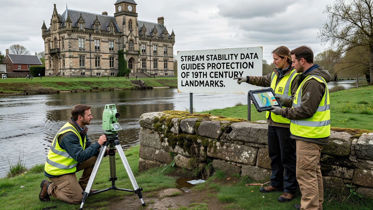
Teams deploy sensors along stream corridors to record continuous readings of water velocity and depth, and they combine these readings with aerial surveys that capture shifts in vegetation and soil composition near landmark properties. Universities conduct field studies that supplement agency data, and their findings reveal correlations between upstream land use changes and downstream erosion rates that threaten older masonry and timber buildings.
Remote sensing technology provides additional layers of detail, and satellites capture seasonal variations in water levels that ground stations might miss during high-flow events. Analysts process this combined information to produce stability indices that rank sites by vulnerability, and preservation planners use the rankings to allocate limited restoration funds to the most urgent cases.
Application to Specific Landmark Sites
Preservation teams in several regions have applied stream stability assessments to mills, warehouses, and residential complexes built in the mid-1800s, and these assessments guide decisions about whether to install riprap barriers, plant stabilizing vegetation, or elevate foundations. One project near a major tributary demonstrated how targeted bank reinforcement reduced sediment loss by measurable percentages within two years of implementation.

September 2026 marks the release of an updated national dataset from the U.S. Geological Survey that incorporates higher-resolution lidar mapping of river corridors, and this update allows planners to refine models that predict future channel migration around historic districts. Local governments coordinate with federal partners to incorporate the new information into zoning reviews and grant applications for landmark maintenance.
Regional Variations in Approach
Approaches differ across geographic areas because stream characteristics vary with climate, geology, and historical development patterns, and teams in the Midwest focus more on agricultural runoff impacts while those in mountainous regions address debris flow risks. Australian heritage authorities have published parallel guidance documents that draw on similar hydrological datasets, and their methods emphasize community involvement in monitoring programs that extend coverage beyond government resources.
European agencies contribute additional case examples through cross-border research networks, and these networks compare protection outcomes for 19th century sites along rivers that cross national boundaries. The shared data helps identify best practices that can transfer between regions despite differences in regulatory frameworks.
Challenges in Integrating Historical and Modern Records
Older survey records often lack the precision of current digital measurements, and analysts must reconcile handwritten notes with contemporary sensor outputs to build accurate timelines of channel change. This reconciliation process sometimes uncovers previously undocumented flood events that explain sudden shifts in bank positions near landmark locations.
Funding constraints limit the number of sites that receive full monitoring coverage each year, and groups prioritize locations where multiple data sources already indicate accelerating erosion. Partnerships with private landowners help extend observation networks, and these partnerships produce supplementary records that fill gaps in official datasets.
Conclusion
Stream stability data continues to shape protection strategies for 19th century landmarks by providing measurable evidence of ongoing environmental pressures, and ongoing refinements in collection methods support more precise interventions. Agencies and researchers maintain collaborative frameworks that incorporate new technologies while respecting the historical integrity of the sites under consideration.